
We deliver accurate surveying, spatial data collection, and GIS solutions to support infrastructure planning, design, and construction projects across South Africa.
Request a Quote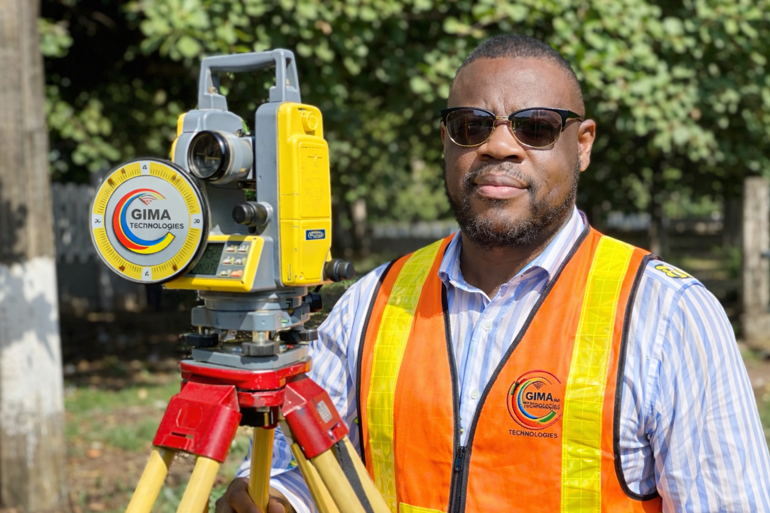
Surveying and GIS play a critical role in infrastructure development, providing precise spatial data for planning, design, and construction. GIMA Technologies Consulting offers professional surveying and GIS services using modern equipment and data-driven methodologies to support informed decision-making.
Detailed land and terrain surveys to support engineering design and planning.
Verification and documentation of constructed infrastructure against approved designs.
Surveying for fibre, utility, and road corridors to support wayleave and construction processes.
Collection and management of spatial data for network planning, asset management, and reporting.
Production of accurate maps, layouts, and spatial analysis to support project decisions.
Integration of survey and GIS data into client systems, dashboards, and reports.
Understand project scope, data requirements, and site conditions.
Conduct surveys using modern equipment and GIS data capture tools.
Process, validate, and analyse collected spatial data.
Produce final maps, reports, and datasets for client use.
Selected surveying and GIS deliverables produced for infrastructure and telecommunications projects.
Speak to our experienced team about professional surveying and GIS solutions for your project.
Contact Us


